 Our Tools
Advanced Equipment & Software for Precision
We use high-end survey equipment and trusted software — from Total Stations and GPS to CAD, GIS, and drones — ensuring accuracy in every project.
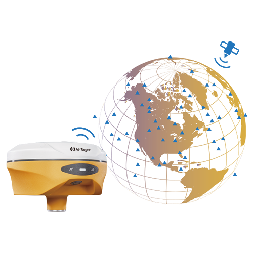
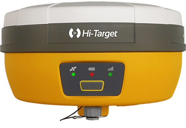
DGPS
High-precision satellite positioning for surveying and mapping.
Click to view details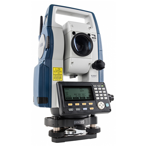
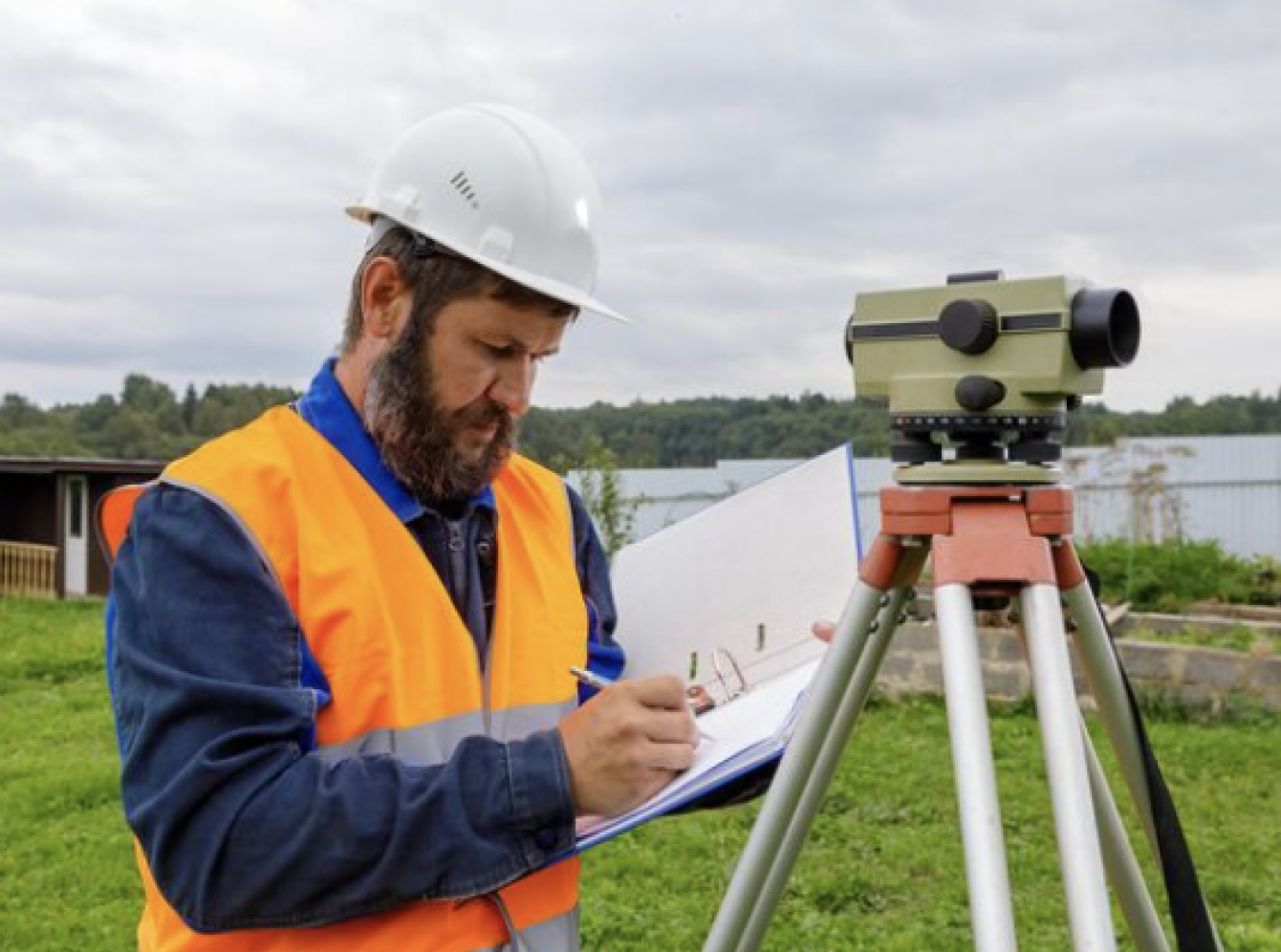
Total Station Instrument
Precision leveling and height measurements for construction.
View Technical Specs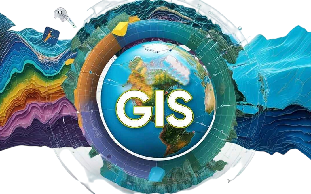
GIS
Geospatial data collection and spatial analysis for land management.
Click to view details
Autocard
Automated drafting and layout tools for engineering and surveying plans.
Click to view details
QGIS
Powerful software for mapping, analysis, and spatial data visualization.
Click to view details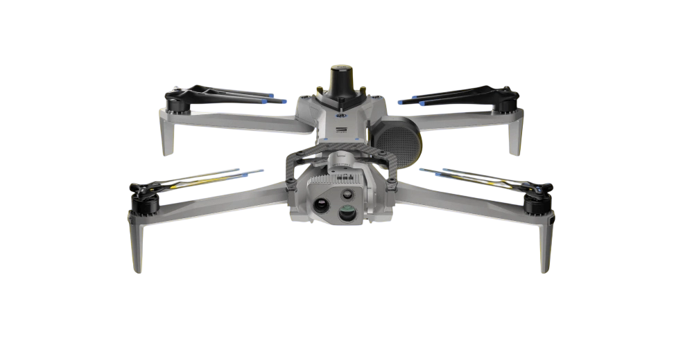
Drone
Aerial surveying and data collection for precision mapping and inspection.
Click to view details
Our Innovations
Modern Methods Driving Surveying Excellence
From drone mapping and 3D modeling to automated data processing and GIS integration, our innovations redefine precision, speed, and sustainability in every project.
Drone Mapping
Uses high-resolution aerial imaging for precise topography, construction monitoring, and site planning.
3D Modeling & BIM
Transforms field data into interactive 3D models for smarter infrastructure and urban design.

Automated Data Processing
Accelerates survey workflows by automating measurements, analysis, and report generation.
Remote Sensing & GIS
Integrates satellite and drone data with GIS tools for environmental and land-use insights.
 Let’s Build with Precision
Ready to Power Your Project with the Right Technology?
Turn your vision into reality with cutting-edge survey tools and expert-driven innovation.
“Every survey we deliver is powered by innovation, trusted tools, and expert precision.”
Testimonials
What Our Clients Say
Our reputation is built on accuracy, trust, and client satisfaction. Here’s what our partners and clients have to say about working with NORTH SURVEYORS.
- Excellent Service: You praised our team’s responsiveness and helpfulness.
- Quality Appreciation: Our services met or exceeded your expectations.
- Effective Communication: You appreciated our clear and timely communication.
Sarika
-
Working quality is Best service forever... Good Communication... Good Quality work... Best person.. My Dear Tushar sir.. & Team... ♥💯
Shaikh
-
Prompt and Professional service.
Friendly and knowledgeable staff particulary Tushar and Team
Naganath Ingale