Cadastral & Engineering Division
Delivering precise mapping and engineering surveys for projects of every scale.

 Our Expertise
Defining Boundaries, Building Foundations.
At NORTH SURVEYORS, we bring clarity to land ownership and reliability to engineering projects. Our cadastral services resolve legal boundaries, while our engineering division ensures accuracy in design, construction, and planning.
Our Services
Comprehensive Survey
Solutions, Backed
by Technology
From cadastral mapping to advanced engineering surveys, we deliver accurate and reliable results using the latest GPS, CAD, and drone technologies. Our tailored solutions ensure every project is completed with precision, efficiency, and trust.
LAND SURVEY
Accurate land boundary demarcation, plot measurement, subdivision surveys, and land development mapping to support legal, residential, agricultural, and commercial requirements with complete reliability.
TOPOGRAPHIC SURVEY
Detailed contour mapping, elevation data collection, natural and man-made feature mapping to support engineering design, construction planning, and environmental studies.
FARM SURVEYS
Detailed agricultural land surveys, including soil analysis, irrigation planning, crop mapping, and farm boundary verification to optimize productivity and resource management.
LAND DEVELOPMENT
Comprehensive site analysis, plot planning, and development surveys to guide legal compliance, infrastructure layout, and sustainable land use.
CONTOUR SURVEY
Precise terrain modeling and elevation mapping, creating contour lines and 3D representations to support civil engineering, flood planning, and landscape design.
SOLAR SURVEY
A solar site survey is a critical on-ground inspection conducted by professionals to evaluate a property's roof, structural integrity, electrical systems, and shading for optimal solar PV installation
AS-BUILT SURVEY
Accurate documentation of completed structures, utilities, and infrastructure projects to verify construction compliance and support maintenance planning.
MAPPING
High-precision maps for urban planning, infrastructure projects, and land management, combining GPS, CAD, and GIS technologies for reliable visualization and decision-making.
CADASTRAL SURVEY /GIS
Legal land record surveys, property mapping, ownership boundary verification, and GIS integration for government, urban planning, and land administration projects.
ENGINEERING SURVEYS
Technical surveys for highways, bridges, tunnels, pipelines, and other engineering projects, providing detailed data for design, alignment, and construction supervision.
DGPS SURVEY
Differential GPS surveys for centimeter-level accuracy in boundary demarcation, construction control, and topographic data collection across large and complex sites.
DRONE SURVEY
Aerial surveys using UAVs to capture high-resolution images, 3D models, volumetric data, and real-time site monitoring for efficient and safe surveying operations.
QGIS
QGIS is a powerful tool for planning, executing, and analyzing field surveys, enabling users to create, digitize, and manage spatial data. It allows for the integration of GPS/GNSS devices for real-time data collection and, when combined with mobile tools like Mergin Maps (formerly Input), it enables field workers to collect data offline and sync it back to a central database.
ARC GIS
Advanced GIS-based data creation, spatial analysis, thematic mapping, and database management to support planning, utilities, infrastructure development, and decision-making processes.
Mapping Excellence, Building Trust
Technology & Equipment.
At NORTH SURVEYORS, we use advanced tools and technologies to ensure every survey is carried out with efficiency, accuracy, and reliability.
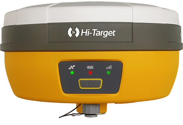
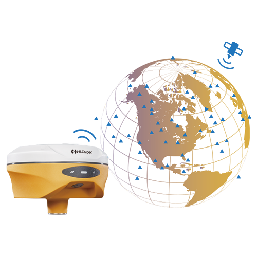
DGPS
High-precision satellite positioning for surveying and mapping.
Click to view details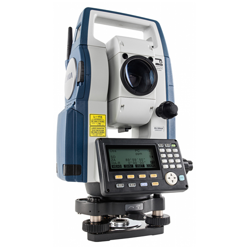
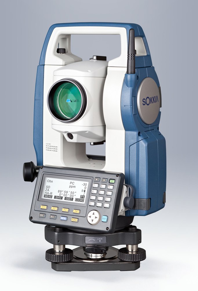
Total Station Instrument
Precision leveling and height measurements for construction.
View Technical Specs
GIS
Geospatial data collection and spatial analysis for land management.
Click to view details
Autocard
Automated drafting and layout tools for engineering and surveying plans.
Click to view details
QGIS
Powerful software for mapping, analysis, and spatial data visualization.
Click to view details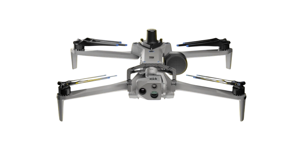
Drone
Aerial surveying and data collection for precision mapping and inspection.
Click to view detailsAppointment
Booking with NORTH SURVEYORS is quick, with fast confirmation to start your project.
 Testimonials
What Our Clients Say
Our reputation is built on accuracy, trust, and client satisfaction. Here’s what our partners and clients have to say about working with NORTH SURVEYORS.
- Excellent Service: You praised our team’s responsiveness and helpfulness.
- Quality Appreciation: Our services met or exceeded your expectations.
- Effective Communication: You appreciated our clear and timely communication.
Sarika

-
Working quality is Best service forever... Good Communication... Good
Quality work... Best person.. My Dear Tushar sir.. & Team... ♥💯
Shaikh
-
Prompt and Professional service.
Friendly and knowledgeable staff particulary Tushar and Team
Naganath Ingale